Traveling the Silverton–Telluride Loop
I had been looking forward to tackling the passes between Silverton and Telluride, but just before my arrival there had been a fatal rollover on Imogene Pass, and it was closed. A sobering reminder: these routes are no joke. Narrow shelves, steep drop-offs, and wide vehicles can make for a dangerous combination.
I started westbound over Ophir Pass—an ideal introduction to the region. Topping out at 11,756 feet, it delivers sweeping views and just enough exposure to keep your attention sharp. Originally a toll road linking Silverton and Telluride, the small town of Ophir once served as a midpoint supply stop. The trail itself was littered with loose shale from past avalanches, making sections feel sketchy with steep drop-offs just inches away. It’s the kind of terrain where the narrow footprint of a Jeep Wrangler feels like an advantage. Many of these passes, especially those modified after WWII, were built with the Jeep CJ in mind—the first civilian Jeep—and it shows.
Not long into the climb, I encountered a group of EarthRoamers. If you’ve never seen one in person, they’re massive—off-road RVs that feel more expedition than recreation. Seeing them gathered on a hillside felt like stumbling across Hannibal’s elephants mid-campaign. They had pulled over to regroup where the trail widened just enough to allow passing. EarthRoamer owners take pride in their rigs, each one numbered in bold on the exterior. The first question I got: “What’s your friend’s number?”
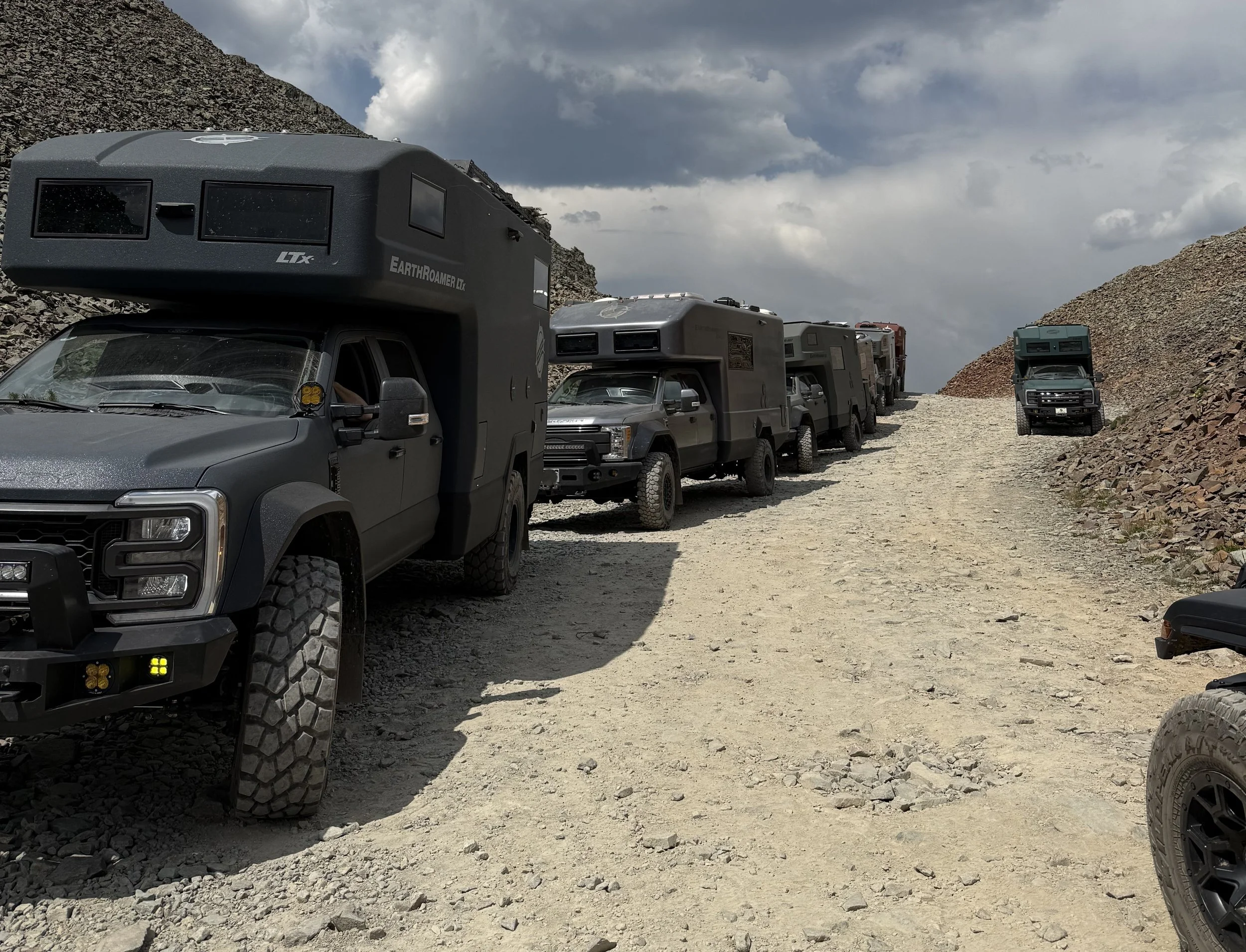
Hannibal and his elephants coming over the pass
Descending into Ophir on the west side, I stopped to air up using my onboard system. I use the Thor’s Lightning system to have all four airing up at the same time to the same pressure. It’s far quicker than airing each tire individually, but still takes some time. I’ve learned to lower the hood while doing it—apparently the universal sign for “something’s wrong.” Without fail, kind strangers stopped to check in. One local pulled up in an old pickup, his dog riding shotgun, and we ended up talking Jeeps, trails, and fly fishing. He suggested I check out Clear Lake. I made a mental note. (That tip would pay off later.)
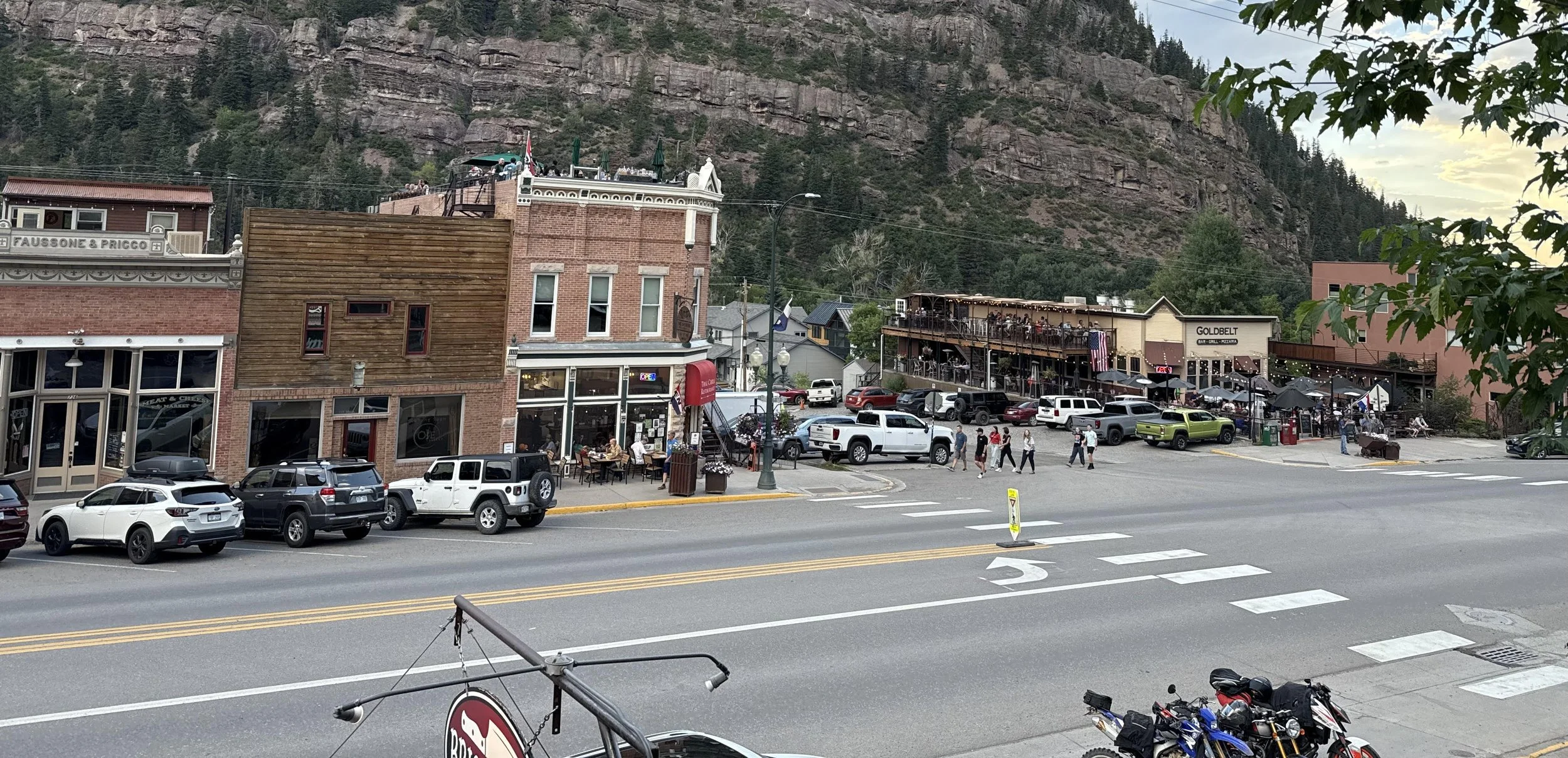
From there I rolled into Telluride and stopped at the Telluride Brewing Company just outside town. Good beer, good conversation—these small breweries always seem to attract the right kind of people. Inevitably, the topic turned to the cost of living. Housing is so expensive that the running joke is it’s cheaper to spend a night in jail than to book a room. After a quick drive through town, I decided to keep moving. It’s a beautiful place, but nothing pulled me in enough to stop.
With Imogene Pass closed, I rerouted along Last Dollar Road toward Ridgway. It’s not particularly technical, but it’s undeniably scenic, winding through elevations from 8,700 to over 10,000 feet. This area was used in filming True Grit, and some of the peaks are instantly recognizable.
By late afternoon, I was ready for a break from camping—something with a hot shower, a real bed, and a solid meal. I checked into the Imogene Hotel in Ouray, a beautifully refurbished spot full of character. The rooftop bar was lively, and the sunset over the mountains didn’t disappoint. Dinner was across the street at Brickhouse 737—elk Bolognese that absolutely delivered.
The Imogene Hotel and Rooftop Bar in Ouray
The next morning I explored Yankee Boy Basin and Governor Basin, winding past old mining sites and some of the most dramatic scenery of the trip. These trails struck the perfect balance between challenge and reward—easily among my favorites. At one point, I joined a group taking turns filming each other crossing a stream. I got my shot—and a great photo to prove it.
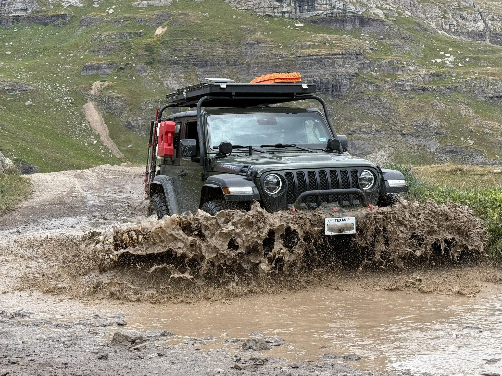
Splashing through near Governor Basin
Back in Ouray, I grabbed lunch at Maggie’s Kitchen. A great burger and another reminder that “roughing it” doesn’t have to mean eating poorly.
From there, I headed toward Clear Lake via South Mineral Road outside Silverton. The drive between Ouray and Silverton—known as the Million Dollar Highway—is an experience in itself. Built in the 1920s at a staggering cost, it’s paved but still thrilling, with dramatic exposure and unforgettable views.
I set up camp at a Forest Service site just past the turnoff to Clear Lake. No amenities, just a packed campground and a bit of luck in finding a tucked-away spot. My overlanding setup—folding toilet, double-bag system, and a cleverly designed canopy—proved once again that simple solutions can be the best ones.
The next morning, after coffee (always first) and breakfast, I made my way up to Clear Lake. The trail was more technical than expected, with tight switchbacks that would challenge larger vehicles. At 11,900 feet, the landscape opens up into a stark, treeless basin. It was cold, but calm.
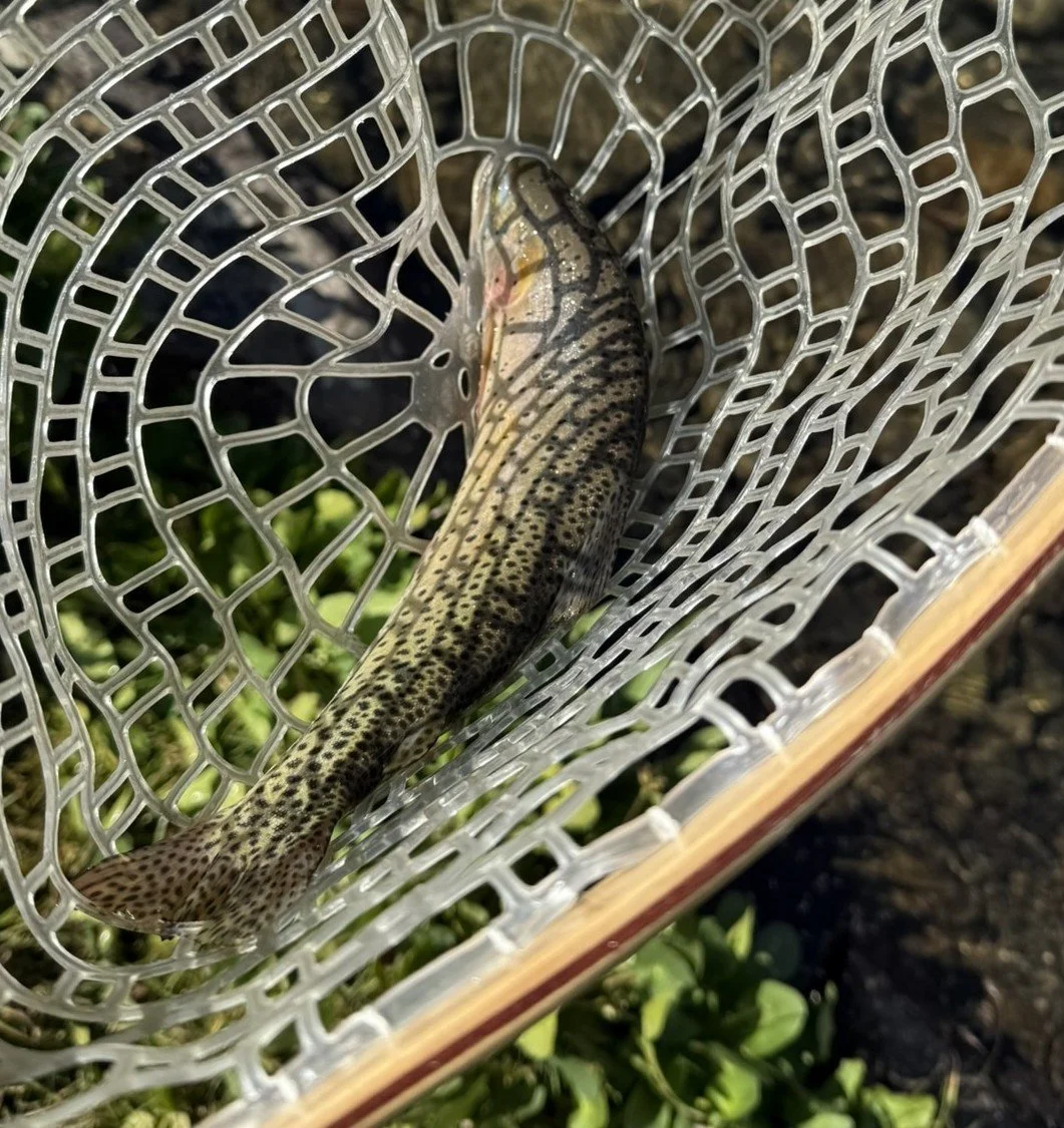
The fishing? Outstanding.
Cutthroat trout were rising, and I somehow picked the right fly on the first try—a gray parachute Adams. With half a dozen others on the water, I seemed to have the hot hand that morning: five rainbows landed and released. Not bad for a high-alpine lake.
After lunch at elevation, I packed up and pointed the Jeep toward the Alpine Loop.